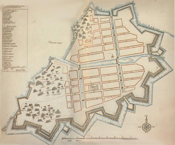
The surveyor Kiättil Klason made this map in 1644.

The surveyor Kiättil Klason made this map in 1644.

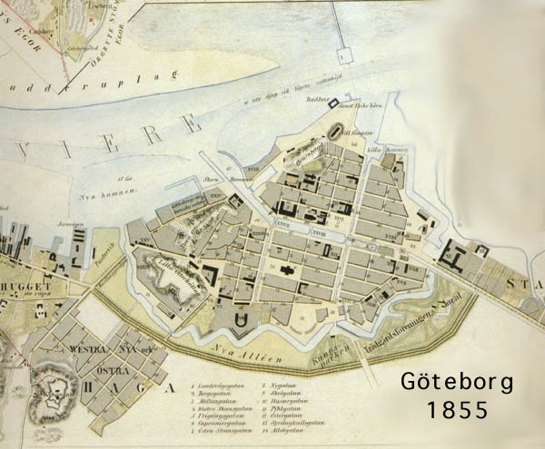
Yhe Gothenburg map 1855

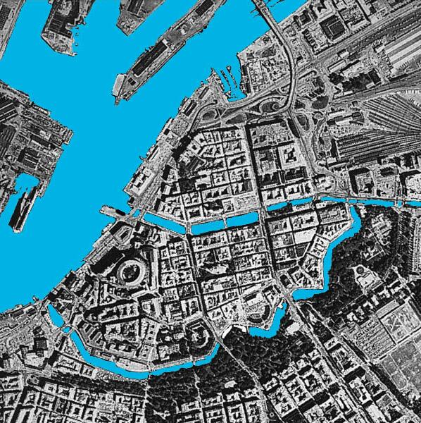
At the end of the 1980les.
All pictures from the Gothenburg town archive.
Quays
Water-
depth
in meterLength-
meter
quaySumma
The Moat
2 á 3
1 303
Rosenlund canal
2 á 3
1 191
Östra Hamnkanalen
1,5 á 2,5
732
Stora Hamnkanalen
inside Kämpebridge2,5
587
Stora Hamnkanalen
outside Kämpebridge4,0
597
Norra Hamnkanalen
2 á 2,5
810
Fattighuskanalen
0,5 á 2,0
640
5 860
other quays
in the harbour
8 949
Total
14 809
![]() Click here to get back to the main Gothemburg-page.
Click here to get back to the main Gothemburg-page.
This page was last modified at