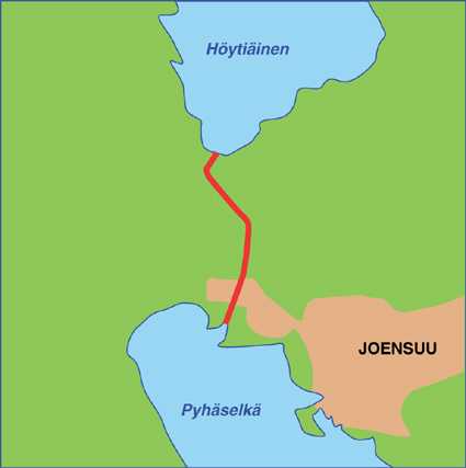
Höytiäinen canal
Höytiäisen kanava
This is a canal in northern Karelia between Pyhäselkäfjärdenand lake Höytiäinen. The canal is about 7 kilometer long and there has never been any locks in the canal.
The canal was built with the purpose to lower the lewel of lake Höytiäinen, that is one of the biggest waters in the Saima system. The level of Pyhäselkäfjärden was 21 meter lower than lake Höytiäinen. The diggings atrted in 1854 and four years later two dams were built by Höytiäinen. The waterflow was regulated by dams so that the stream would enlarge the canal.
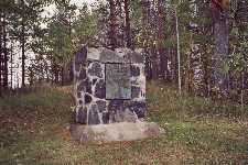
After some time water started to pour through the sand and gravel in the dams and och August 4th 1859 water broke up the dams and flowed free towards Pyhäselkäfjärden The level of Höytiäinen sank 7,5 meter during two weeks until the stream got down to a threshold of solid rock and the flow decreased.
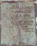
A stream was created below the threshold and it was named Puntarikoski. It was cleared in 1860 and the level of Höytiäinen was lowered 9,5 meter all in all. The area of Höytiäinen decreased by 30 %. The lake got close to 400 new islands and rocks and more than 15 000 hectares new land was won.
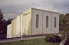
At the falls a powerplant was built during the 1950ies. You can sail up to the powerplant and from the powerplant to Höytiäinen. But you have to take the boat 400 meter over land to pass the powerplant.
Höytiäinen was used for shipping since the last part of the 19th century, but no fairways were marked until the 1990ies and the early 21st century.
Tarmo Hurskainen © 2006
| 
| 
|
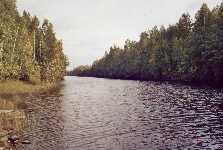
Höytiäinen canal at Puntarikoski towards lake Höytiäinen.
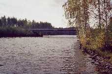
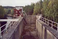
| The bridge over the canal at Puntarikoski.
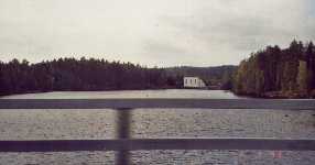
| Yor can see Puntarikoski power plant from the bridge.
|
© Pictures by Riitta Kankkunen, 2006
| 
| 
| 
|
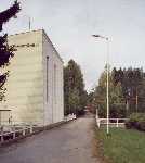
Pohjois-Karjalan Sähkö Oy powerplant at Puntarikoski.
| A basin and a drawing engine for timber by the power plant.
| The lift for timber. The water level was very low in autumn 2006.
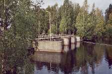
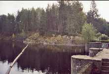
| The dam for the power plant and a bridge over the canal.
|
© Pictures by Riitta Kankkunen, 2006
| 
| 
| 
|
The bridge and dam beside the power plant.
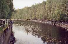
| The shore by the canal and dam.
| The monument about the big accident in 1859.
| The text on the monument, in English: The level of Lake Höytiäinen sank 9,5 meter and 17 000 hectares were dried.
|
© Pictures by Riitta Kankkunen, 2006
| 
| 
|
Höytiäisen canal.
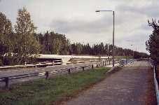
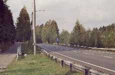
| The bridges crossing the canal at Onttola.
| Sign showing the way to Museum for the contrete dugouts by the canal.
|
© Pictures by Riitta Kankkunen, 2006
| 
| 
|
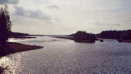
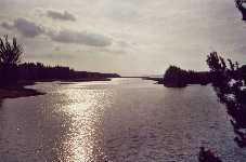
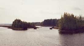
Here the canal flows into lake Pyhäselkä.
| Lake Pyhäselkä in the background.
| Remnants of the timber driving excerzied every summer.
|
© Pictures by Riitta Kankkunen, 2006
Source: Tarmo Hurskainen's own researches, 2005
Do send comments or further information to Bosse Arnholm
 Click here to get back to the startpage.
This page was modified at
